Hanumangarh is home to the legendary heritage fort, now in ruins, built over a mountain top at an altitude of 3100 metres ASL in the Barot Valley of Himachal Pradesh. We start the Hanumangarh Epic from the landing site for paragliders in Bir. Bir offers a classical topography and, more often than not, some real tender terrain for adventure seekers in the mighty Dhauladhar Range of the Indian Himalaya in Himachal Pradesh. It’s the spread of the Dhauladhar range that leads to a startling elevation change of ~1000 metres D+ in the Bir Valley.
HANUMANGARH FORT: THE EPIC LEGEND
When it comes to legend, like every second Indian heritage site, Hanumangarh Fort is no exception. The Kangra region in Himachal Pradesh houses a valley that has now been divided into Bada (Big/Elder) Bhangal and Chhota (Small/Younger) Bhangal. The erstwhile Bhangal Valley was a prosperous and vast kingdom that attracted rival invasions from its neighbours and, at times, even within the royal family. The neighbouring kingdom of Mandi was ruled by the brother-in-law of the Bhangaliyan King, and it was the King of Mandi who tricked the Bhangaliyan King into visiting Mandi by spreading rumours of the illness of his wife.
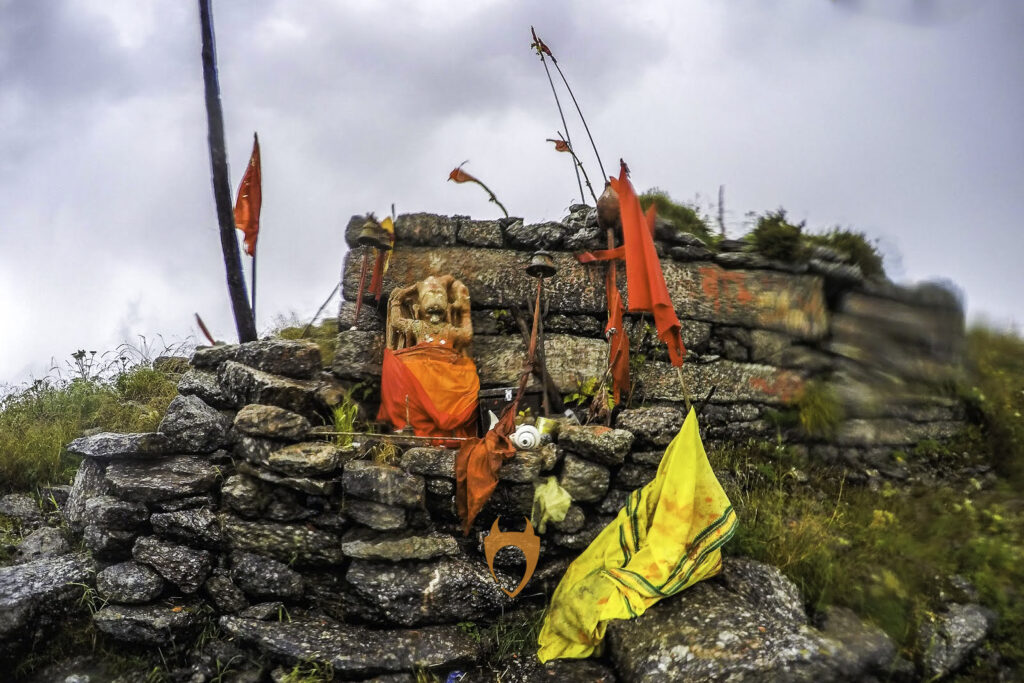
The Bhangaliyan King, a devout follower of God Hanuman, after offering prayers to his favourite God at the temple built within the fort premise, left riding on his horse for Mandi. The legend says that the horse refused to move as the god Hanuman had conveyed the horse of the treacherous days ahead. The King, a brother worried about his sister’s well-being anyway, forced the horse and reached Mandi, only to be slaughtered by his own brother-in-law, the King of Mandi.
To repent of the deeds of their king, the head priest of Mandi asked the citizens to honour the king of Bhangal Valley. The people of Mandi took out a procession of horses to the Hanumangarh Fort and honoured the pure soul of the Bhangaliyan King. It’s since then that every year, during the Shivaratri Festival, the same procession is carried out with great fanfare.
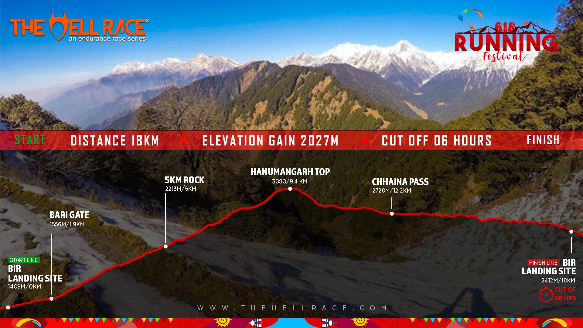
HANUMANGARH EPIC: THE RACE
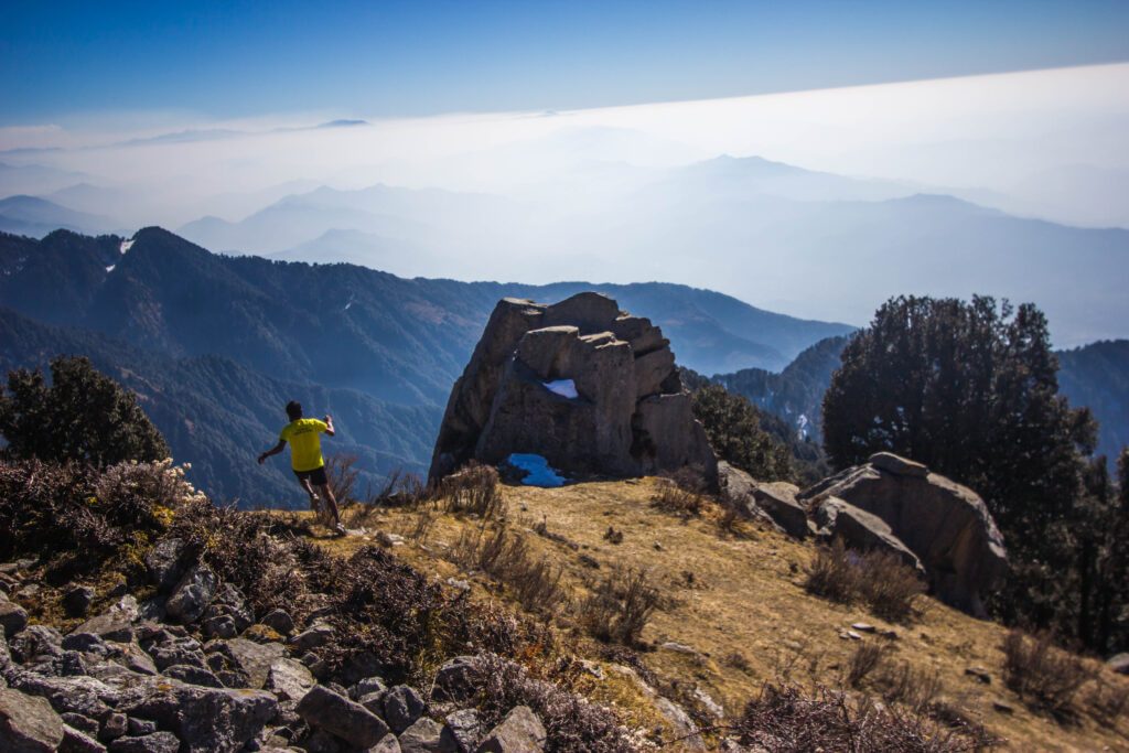
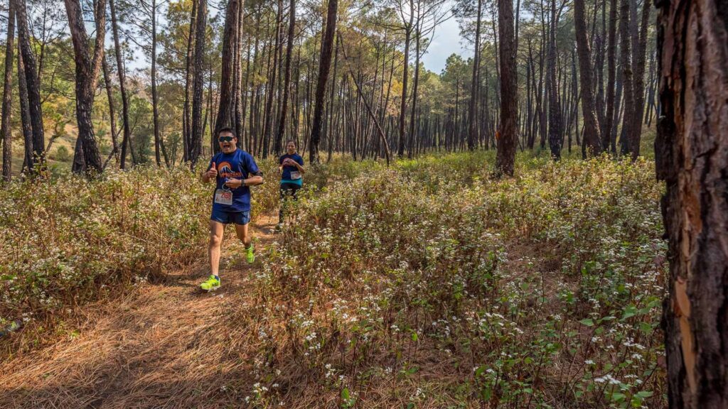
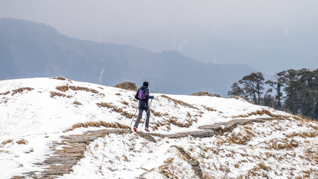
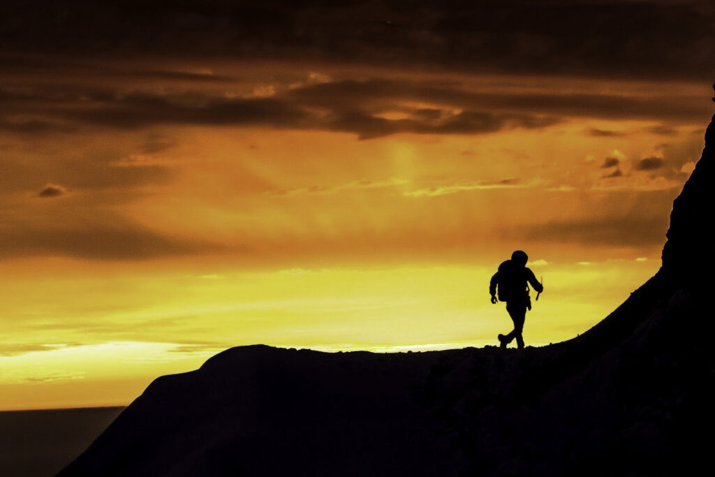
From the start line at the ‘Landing Site’ of the race, the 9-kilometer uphill climb with an elevation gain of 1800 metres is a typical Hell challenge on offer. Along the ridge line, the landscape is adorned with rhododendrons. A further climb exposes the runners to a clean, majestic view of the valley.
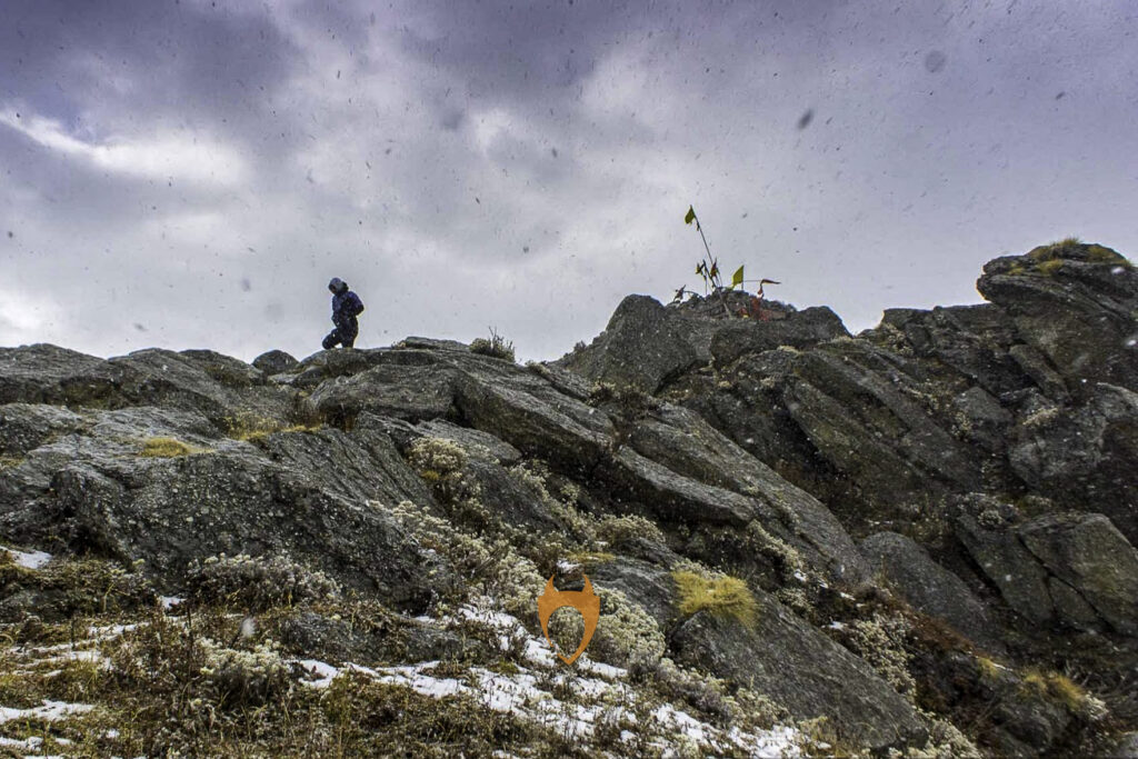
Reaching Hanumangarh Fort could be quite an experience. The 360-degree magnificence bejewelled with the valleys of Badagran, Nalhota, Thati, Kothi Kohad, and Bir Valleys, coupled with the views of Nohru Pass, Thamsar Pass, Jalsu Pass, Chainna Pass, and Sari Pass and mountain ranges, is a spectacle to cherish. For the race to finish, it all goes downhill from here—back to the finish line. The first 3 kilometres of the downhill run bring the runners to Chaina Pass. The route then gets to be a jeep track, providing for an easy, runnable 6-kilometer finishing stint to Billing at the ‘Take-Off Site.